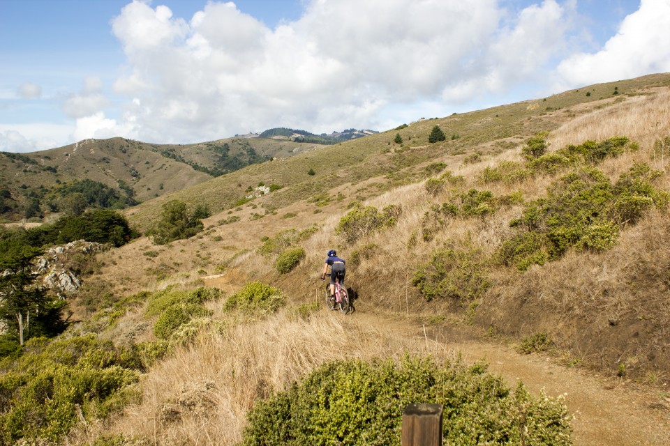
Campbell Grading, Inc., designed and constructed this multi-use trail in Mount Tamalpais State Park for equestrians, hikers, runners, and mountain bikers, adding a new section to the Bay Area Ridge Trail.
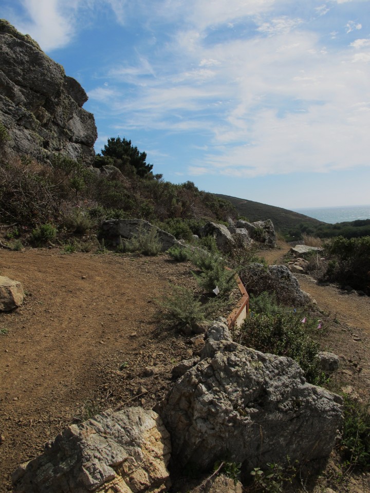
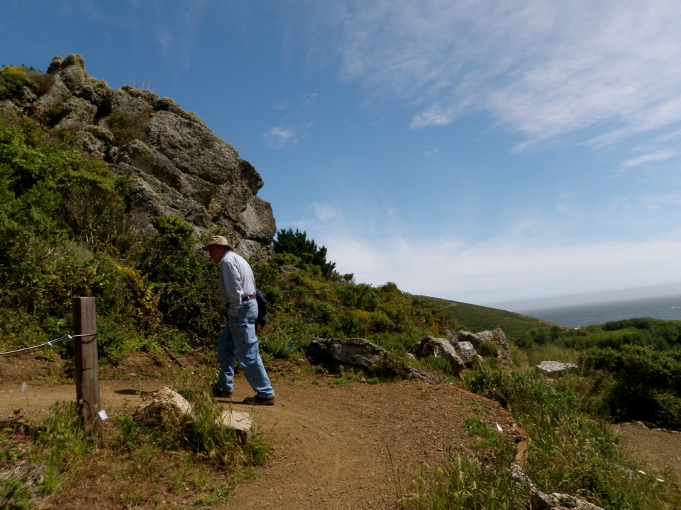
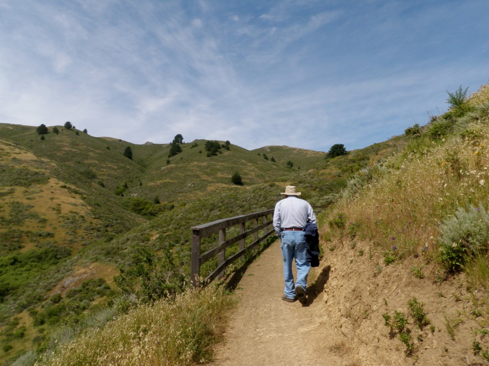
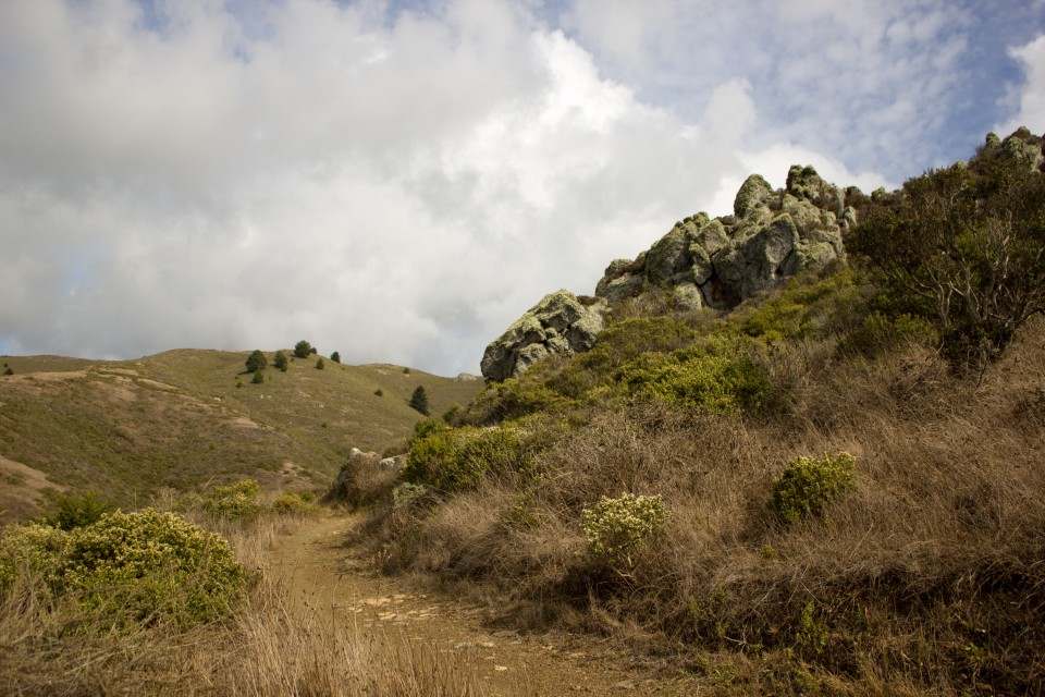
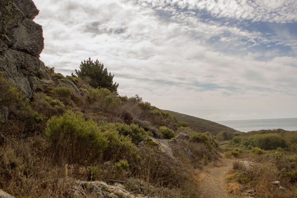
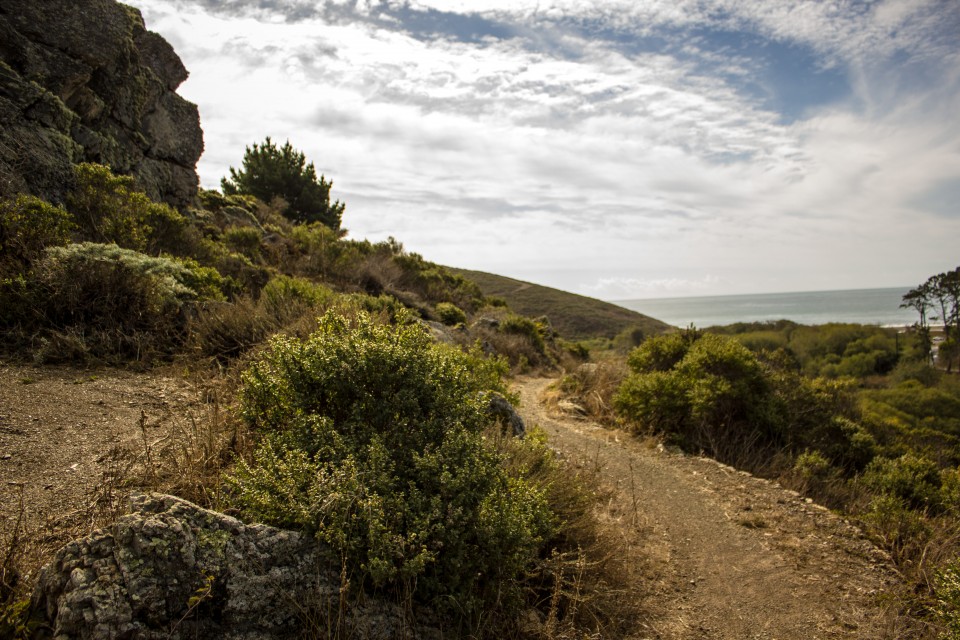
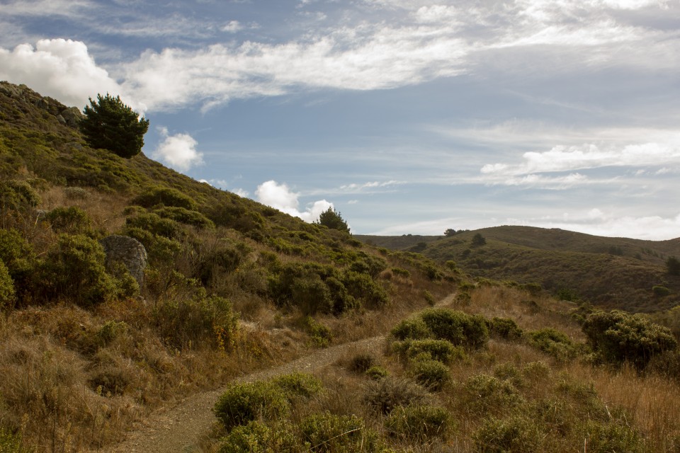
The new trail runs from the intersection of Highway 1 and Pacific Way for 1.5 miles northeast along the ridge to the Panoramic Highway. The ridge offers panoramic views of the Pacific Ocean, Farallon Islands, Frank Valley, Muir Beach, and the Redwood Creek Watershed. The trail shares the area with bobcats, California black tail deer, coyotes, mountain lions, and a variety of birds, including quail and nesting hawks.
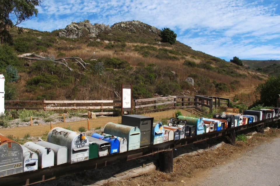
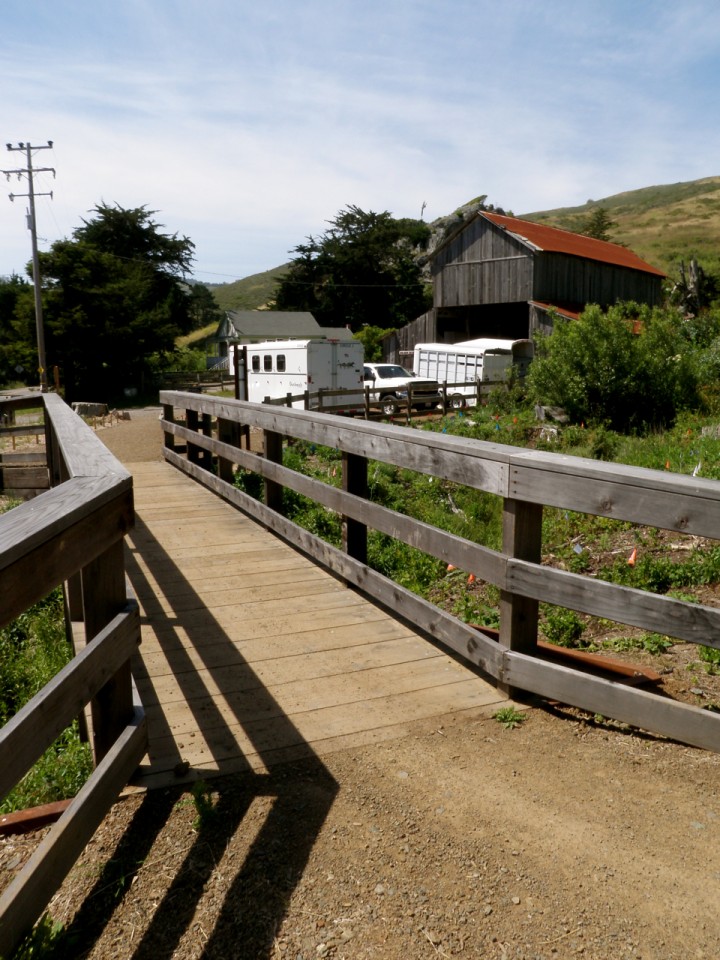
Dias Ridge is named for one of the Portuguese dairy ranchers who once owned land in the area; the trailhead is adjacent to a historic milk barn built by the Portuguese settlers.
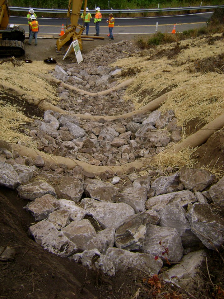
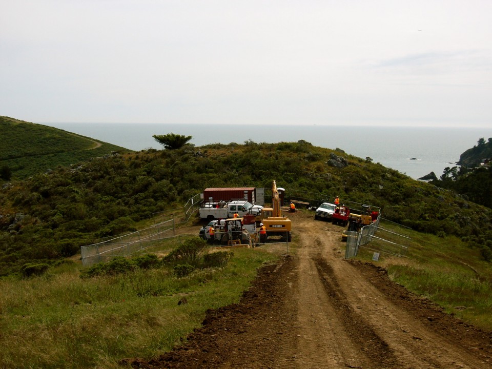
The Dias Ridge Trail used to follow an old fire road along the nose of the ridge. The road channelized water and sediment straight into Redwood Creek, creating gullies over 5 feet deep. This project was part of a larger effort to restore Redwood Creek to a healthier state for spawning coho salmon. Campbell Grading, Inc., decommissioned the road and brought in more than 7,000 cubic yards of soil to replace soil lost to erosion and to restore the ridge’s natural watershed and drainage patterns.
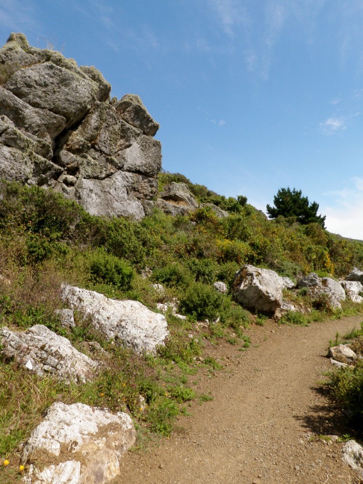
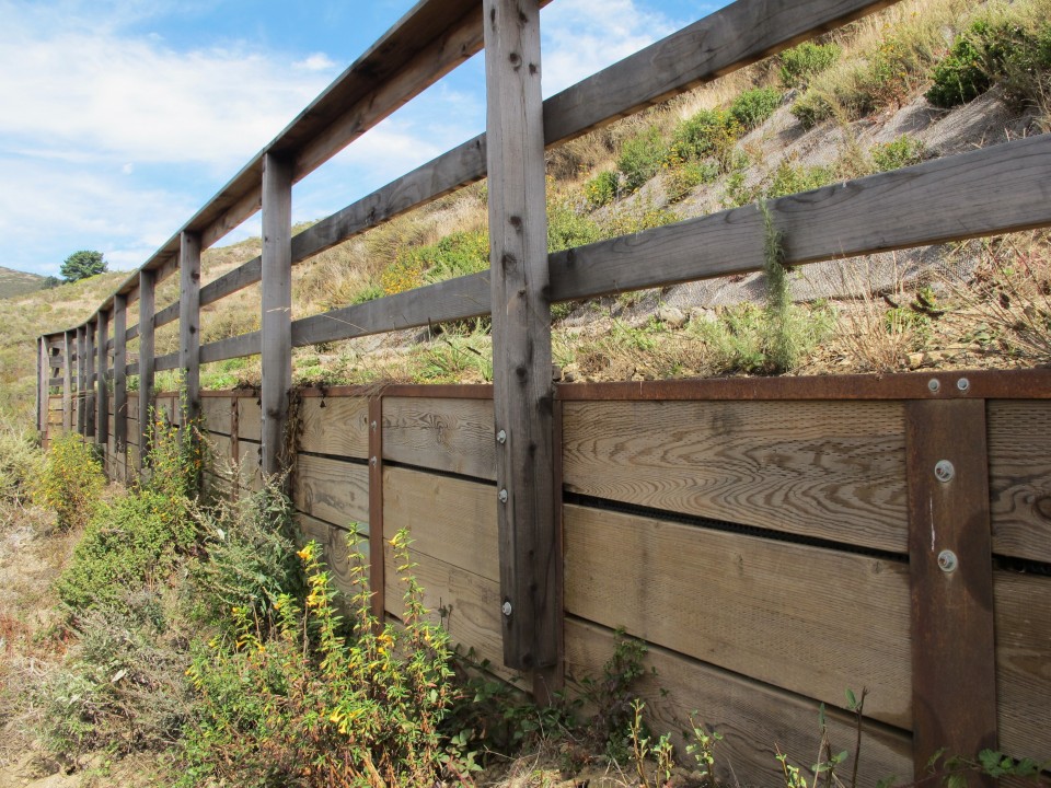
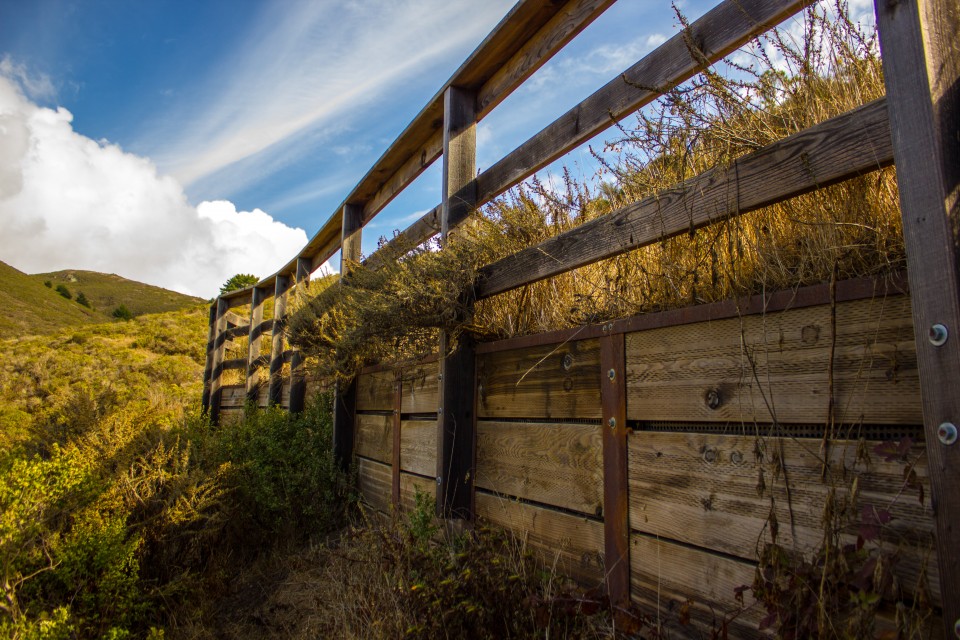
We designed the trail to maintain a maximum 10 percent grade despite an elevation change of about 1,000 feet over the 1.5-mile stretch. Where the slope was too great, we built Sutter retaining walls. The longest Sutter wall section is 110 feet long.
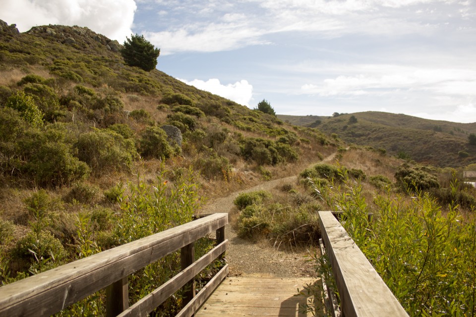
To eliminate sediment delivery to Redwood Creek, we used outsloped trail tread, drain lenses, wet water crossings, and reverse grades. In addition, we designed and built a 22-foot-long, 5-foot-wide bridge to span a Redwood Creek tributary at the trailhead. The bridge is designed for loads of up to 5,000 pounds.